


This week, we’ll be featuring stories from this year’s State of the Commons report, which highlights the impact of our global community by exploring the wide array of creativity and knowledge that is freely available to the world under under CC licenses. Read more about why this report marks our biggest year yet.
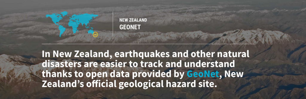
GeoNet adopted a CC BY license in order to provide crucial, open information and quick response to earthquakes, volcanic activity, and tsunamis. Its real-time CC BY-licensed and open format data is now reused every day for emergency management, research, industry use, and by the public. GeoNet has become a core tool for global positioning systems, measuring instruments, geotechnical consultancies, local and central government, as well as for national and international universities and research organizations. In 2016, It recorded over 32,000 earthquakes and has changed the way that the public learns about and understands earthquakes through its open format.
On 14 November 2016, the day of the Kaikoura 7.8 magnitude earthquake, there were 250 million hits to the site by third party apps – people around the world wanted to know the strength of the earthquake and what that meant for them. Geonet sent out 206 million advisories that day through its app, website, and social media sites.
Due to the reach of Geonet, there is increasing information on a variety of safety protocols like where one must move to avoid tsunamis and advice about what size after-shock to expect. Worldwide, new knowledge and research has been developed through legal reuse of this licensed data.
Posted 23 May 2017